Homejourney
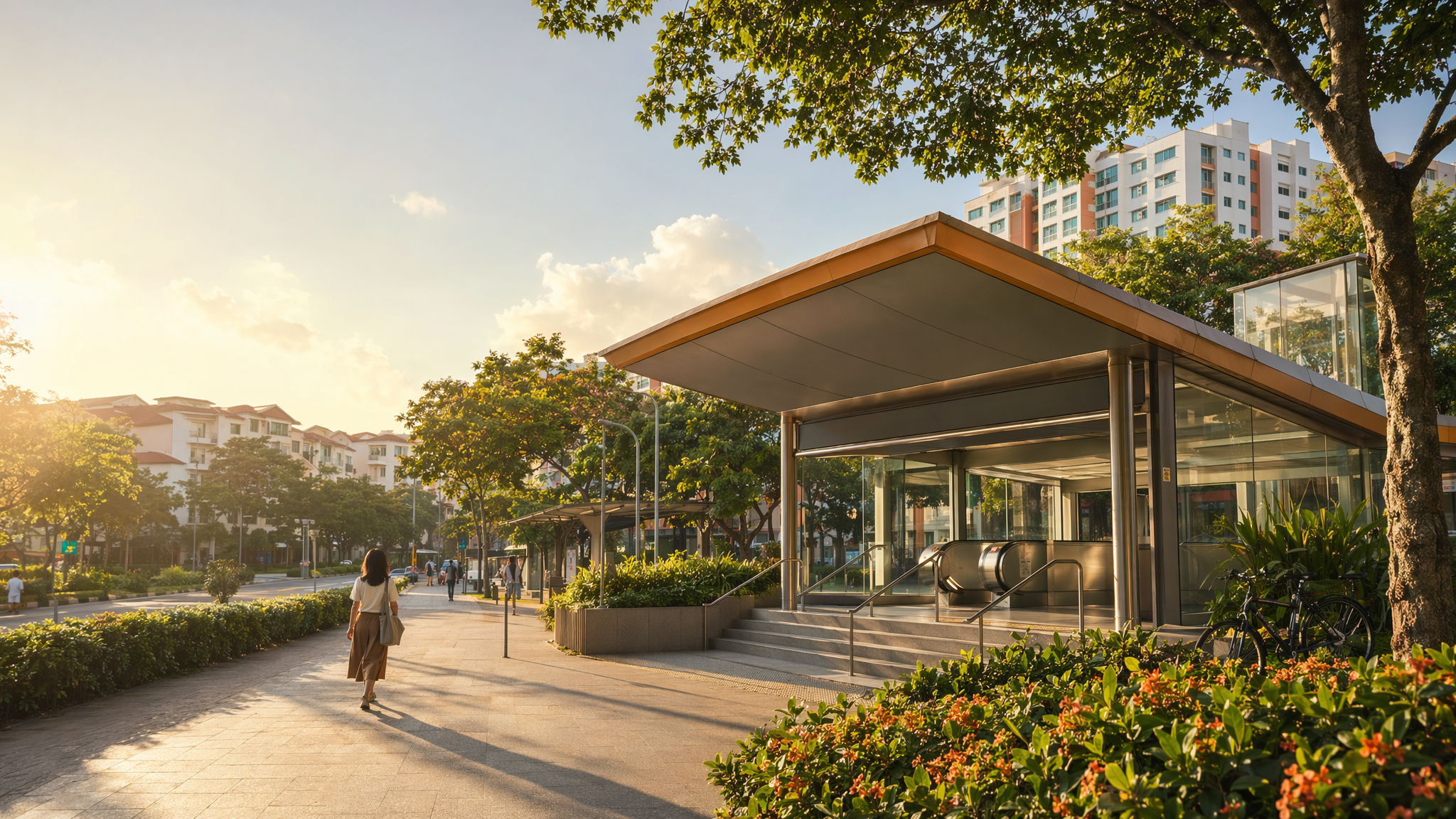
Bartley MRT neighbourhood hero image
MRT station guides

Circle Line

Bartley MRT Station

Bartley MRT (CC12) is a Circle Line station with no interchange role, serving the Bartley area with local residential access and connections to nearby schools, neighbourhood amenities, and bus services. Public station maps and transport notices confirm the station code and its place on the Circle Line, while locality sources show it is a useful access point for homes and community facilities around Upper Serangoon Road and Jalan Bunga Rampai.

CC12 CCL

Reviewed station information

Station facts, commute context, amenities, sources, and freshness are checked before sitemap inclusion.

Transport context

Rail network access

Source-backed Bartley MRT Station identity for orientation and neighbourhood research. This block does not describe live service status, fares, train timings, or government endorsement.

Station identity, lines, codes, and interchange state come from the Homejourney shared MRT registry. The approximate map point is MRTStations-owned local presentation data; LTA/DataMall station-name and type fields are used only for reconciliation.

Lines
Circle Line
Station codes
CC12
Interchange
No
Approximate map point
1.3426, 103.8796

Reference: LTA DataMall TrainStation_Mar2026.zip; checked 2026-07-12. Dataset page and Singapore Open Data Licence. Data attribution does not imply LTA or Singapore government endorsement of MRTStations.com.

Station facts

Bartley MRT is station CC12 on the Circle Line and is not an interchange station.

The station appears in SMRT’s station map for Bartley, which is the most direct source for its official identification and rail context. LTA and operator service pages also list Bartley by the same code, confirming its continued operational status on the Circle Line.

Amenities and lifestyle

Bartley serves a primarily residential pocket with practical everyday amenities rather than a major commercial hub. Nearby Homejourney locality pages reference schools, shopping, and transport access around the station, including Maris Stella High School, Bartley Secondary School, and other family-oriented facilities in the area.

The station is also used by residents heading to nearby supermarkets, eateries, and neighbourhood conveniences in adjoining estates, making it a functional access point for school runs, daily errands, and home-bound commuting.

Commute and access

Bus connectivity is relevant to Bartley because Service 146 is being extended to provide a direct link to CC12 Bartley MRT, improving access between Bartley, Woodleigh, and Kovan-area stops.

Homejourney locality guidance places Bartley MRT within a short walk of nearby developments, and one page specifically notes Exit A as the shortest walk option for a nearby address, indicating practical pedestrian access from the station to surrounding housing.

Nearby context

Seasoned locality sources place Bartley MRT in a low-rise, residential corridor with nearby housing projects such as Bartley Residences and Bartley Vue, both of which highlight the station as a close rail anchor for their addresses.

Nearby context also includes school access and neighbourhood services. Homejourney’s Bartley-area pages cite educational institutions such as Maris Stella High School and Paya Lebar Methodist Girls’ School, reflecting the station’s role in serving family households and school-linked travel patterns.