Homejourney
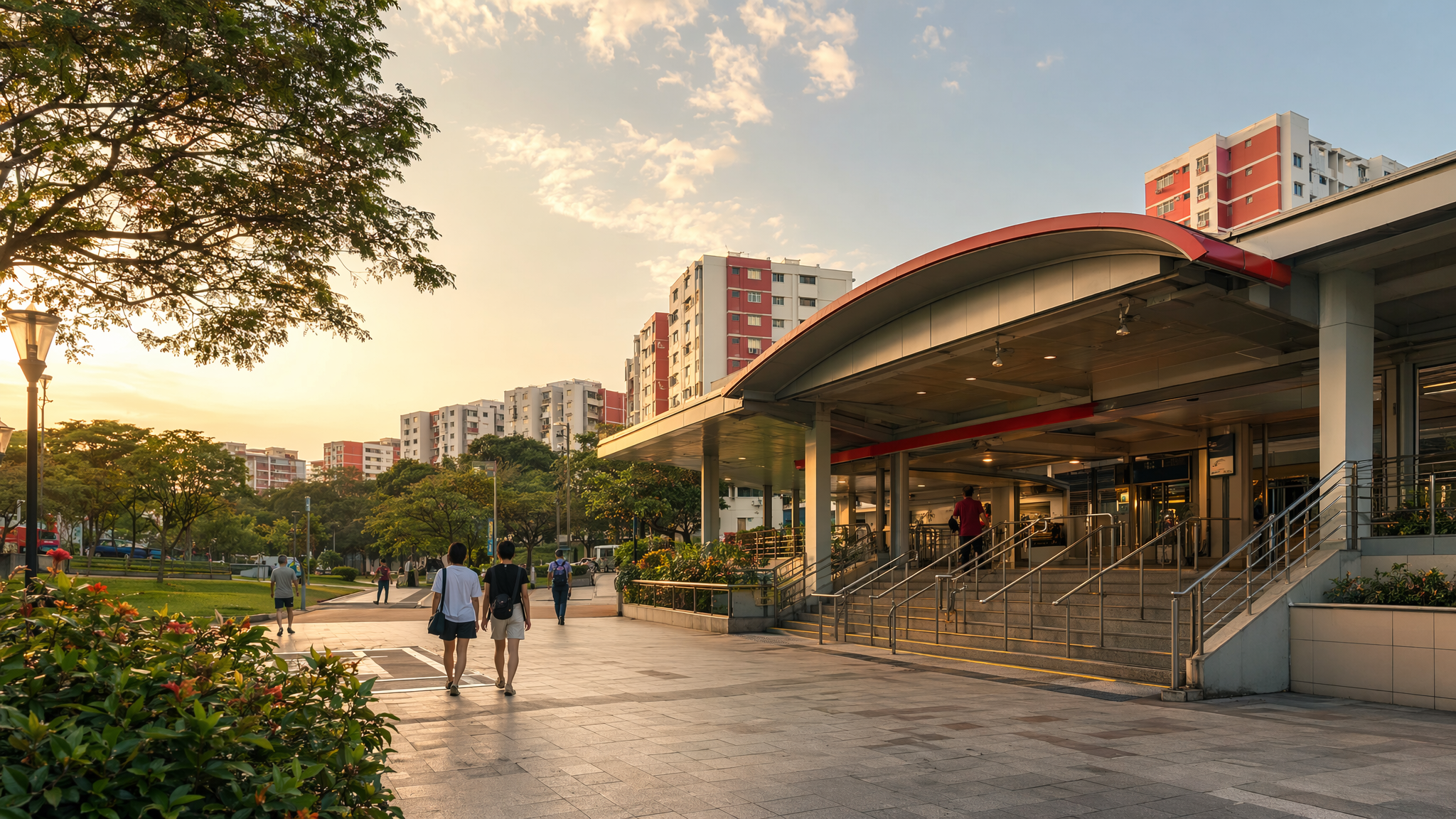
Bukit Batok MRT neighbourhood hero image
MRT station guides

North South Line

Bukit Batok MRT Station

Bukit Batok MRT Station is NS2 on the North South Line and is not an interchange station. Public station maps identify its exits and barrier-free access, while nearby locality guides place it within a walkable town-centre setting with retail, healthcare, schools, parks, and bus connections around the station.

NS2 NSL

Reviewed station information

Station facts, commute context, amenities, sources, and freshness are checked before sitemap inclusion.

Transport context

Rail network access

Source-backed Bukit Batok MRT Station identity for orientation and neighbourhood research. This block does not describe live service status, fares, train timings, or government endorsement.

Station identity, lines, codes, and interchange state come from the Homejourney shared MRT registry. The approximate map point is MRTStations-owned local presentation data; LTA/DataMall station-name and type fields are used only for reconciliation.

Lines
North South Line
Station codes
NS2
Interchange
No
Approximate map point
1.3490, 103.7496

Reference: LTA DataMall TrainStation_Mar2026.zip; checked 2026-07-12. Dataset page and Singapore Open Data Licence. Data attribution does not imply LTA or Singapore government endorsement of MRTStations.com.

Station facts

Bukit Batok MRT Station is NS2 on the North South Line, and it is a non-interchange station. SMRT’s station information page identifies the station exits and shows the station as part of the Bukit Batok town centre rail node. The station page also indicates barrier-free access features for station users.

Amenities and lifestyle

Local area guides describe Bukit Batok MRT as a practical everyday-stop station for a mature residential town, with nearby convenience shopping, kopi shops, hawker food, and neighbourhood services. Sources also point to nearby recreation such as Bukit Batok Nature Park and Bukit Batok Sports Complex, which gives the area a suburban, family-oriented lifestyle with access to green space and fitness options.

Commute and access

SMRT’s station page provides the official exit information, and nearby guides commonly describe Exit A as the main walking point for surrounding homes and amenities. The station is served by feeder and local bus connections in the Bukit Batok area, making it a practical transfer point for short trips to Jurong East and other nearby destinations. Local sources also note that the station is a walkable access point for residents rather than a car-oriented node.

Nearby context

Bukit Batok MRT sits in a residential town context with nearby schools, neighbourhood shops, and public facilities rather than a central business-district setting. Homejourney locality pages mention Bukit Batok Shopping Centre, West Mall, Bukit Batok Primary School, Bukit Batok Secondary School, and community healthcare and sports facilities within the station’s broader catchment. The station also serves access to nearby parks and the town’s green, low-rise estate character.