Homejourney
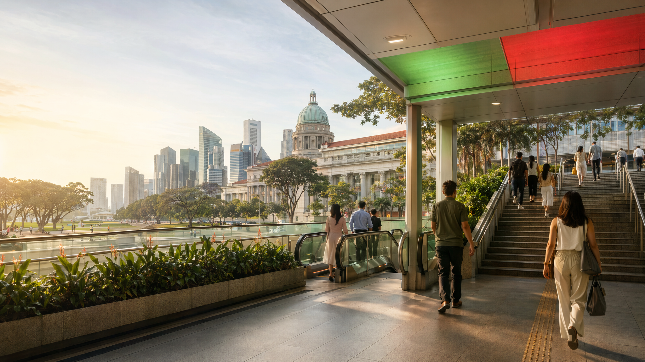
City Hall MRT neighbourhood hero image
MRT station guides

North South Line / East West Line

City Hall MRT Station

City Hall MRT is a central interchange on the North South and East West lines, linking Singapore’s civic district with fast cross-town travel. It is useful for commuters, visitors, and property researchers because of its transfer convenience, walkable surroundings, and access to nearby civic and cultural destinations.

NS25 NSLEW13 EWL

Reviewed station information

Station facts, commute context, amenities, sources, and freshness are checked before sitemap inclusion.

Transport context

Rail network access

Source-backed City Hall MRT Station identity for orientation and neighbourhood research. This block does not describe live service status, fares, train timings, or government endorsement.

Station identity, lines, codes, and interchange state come from the Homejourney shared MRT registry. The approximate map point is MRTStations-owned local presentation data; LTA/DataMall station-name and type fields are used only for reconciliation.

Lines
North South Line / East West Line
Station codes
NS25 / EW13
Interchange
Yes
Approximate map point
1.2932, 103.8521

Reference: LTA DataMall TrainStation_Mar2026.zip; checked 2026-07-12. Dataset page and Singapore Open Data Licence. Data attribution does not imply LTA or Singapore government endorsement of MRTStations.com.

Station facts

City Hall MRT is an interchange station on the North South Line and East West Line, with station codes NS25 and EW13. It sits in the civic core and gives riders a direct transfer point between two of Singapore’s main trunk lines, making it a practical city-centre gateway for work, errands, and sightseeing.

Amenities and lifestyle

The station is well suited to mixed-use city travel because the surrounding area is walkable, transit-rich, and close to major civic destinations. Public transport guidance also notes that stations in this area are served by clear exit signage and lifts, supporting everyday trips for commuters, families, and travellers carrying luggage or using strollers.

Commute and access

City Hall’s interchange role makes it useful for cross-town travel between the North South Line and East West Line, reducing the need for longer transfers elsewhere in the network. The broader rail network provides station maps and rail information at stations, which helps with wayfinding and exit selection for a busy transfer point like this one.

Nearby context

The station is positioned for easy access to Singapore’s civic and tourist heart. Nearby references from station-area guidance include the Padang and National Gallery area, reached from Exit B on foot in a few minutes. That makes City Hall a strong base for museums, open public spaces, government landmarks, and central-city walks.