Homejourney
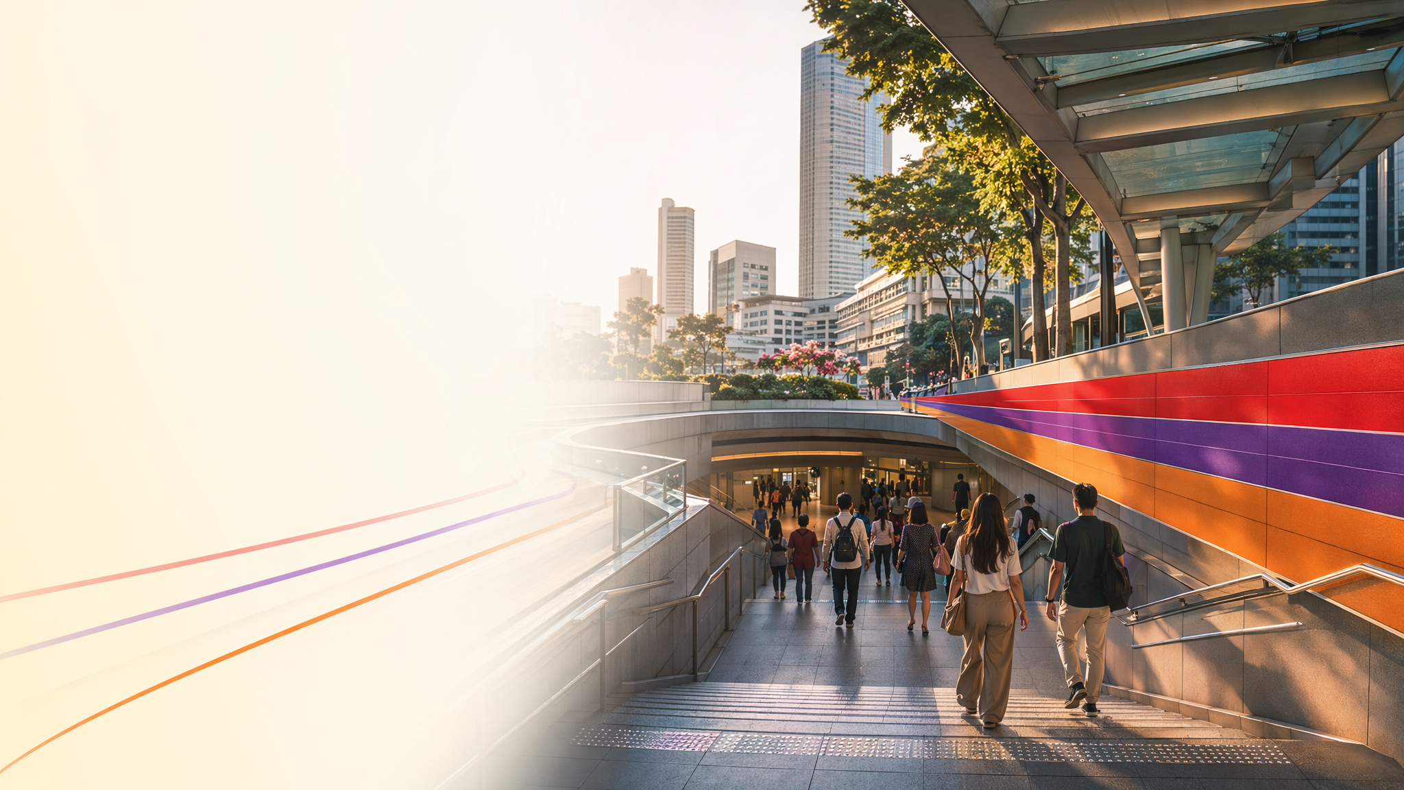
Dhoby Ghaut MRT neighbourhood hero image
MRT station guides

North South Line / Northeast Line / Circle Line

Dhoby Ghaut MRT Station

Dhoby Ghaut MRT is a major underground interchange station serving the North South Line, Northeast Line, and Circle Line, with station codes NS24, NE6, and CC1. It functions as a key transfer point in central Singapore and is closely linked to nearby retail, civic, and park amenities around the station area.

NS24 NSLNE6 NELCC1 CCL

Reviewed station information

Station facts, commute context, amenities, sources, and freshness are checked before sitemap inclusion.

Transport context

Rail network access

Source-backed Dhoby Ghaut MRT Station identity for orientation and neighbourhood research. This block does not describe live service status, fares, train timings, or government endorsement.

Station identity, lines, codes, and interchange state come from the Homejourney shared MRT registry. The approximate map point is MRTStations-owned local presentation data; LTA/DataMall station-name and type fields are used only for reconciliation.

Lines
North South Line / Northeast Line / Circle Line
Station codes
NS24 / NE6 / CC1
Interchange
Yes
Approximate map point
1.2991, 103.8456

Reference: LTA DataMall TrainStation_Mar2026.zip; checked 2026-07-12. Dataset page and Singapore Open Data Licence. Data attribution does not imply LTA or Singapore government endorsement of MRTStations.com.

Station facts

Dhoby Ghaut MRT is an underground interchange station connecting the North South Line, Northeast Line, and Circle Line. It carries the station codes NS24, NE6, and CC1, and the SMRT station map identifies it as a major transfer node within the Singapore rail network. The station’s map page is the most direct official reference for its line connections and station layout context.

Amenities and lifestyle

The station sits beside everyday city amenities rather than a single standalone attraction, making it useful for shopping, dining, and short urban trips. NParks identifies Dhoby Ghaut Green as an urban park in the area, giving the station a nearby green-space option for breaks and casual visits. The station area is also served by central walkability and transit links, which support a mixed retail-and-leisure lifestyle around the interchange.

Commute and access

Dhoby Ghaut is a high-connectivity transfer station, so it is well suited for cross-line commuting between the north-south corridor, the northeastern corridor, and the Circle Line. The official station map is the best source for navigating the interchange layout and understanding how the platforms connect across lines. For live service disruptions or operational changes, SMRT directs passengers to its train service updates page.

Nearby context

The station area is anchored by central-city uses and open space, with Dhoby Ghaut Green providing a nearby park landmark. The surrounding locality is strongly transit-oriented because Dhoby Ghaut functions as a main interchange, so nearby foot traffic typically includes shoppers, commuters, and visitors moving between rail lines and adjacent urban destinations. The station’s official map and the park listing together support this central, mixed-use context.