Homejourney
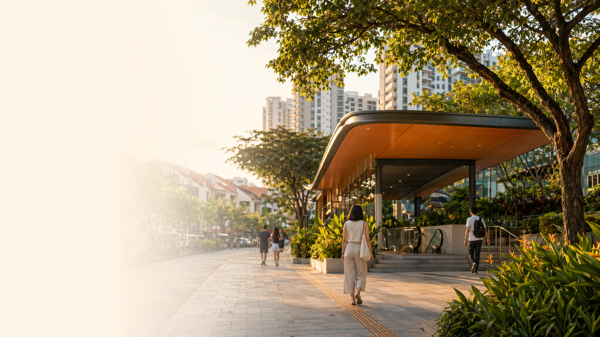
Farrer Road MRT neighbourhood hero image
MRT station guides

Circle Line

Farrer Road MRT Station

Farrer Road MRT (CC20) is a Circle Line station in District 10 with no interchange role, serving the residential and school catchment around Farrer Road and nearby Holland Village. Public station maps show it as a standalone station on the Circle Line, while Homejourney’s area pages place it within walkable access of local homes, schools, and neighborhood conveniences.

CC20 CCL

Reviewed station information

Station facts, commute context, amenities, sources, and freshness are checked before sitemap inclusion.

Transport context

Rail network access

Source-backed Farrer Road MRT Station identity for orientation and neighbourhood research. This block does not describe live service status, fares, train timings, or government endorsement.

Station identity, lines, codes, and interchange state come from the Homejourney shared MRT registry. The approximate map point is MRTStations-owned local presentation data; LTA/DataMall station-name and type fields are used only for reconciliation.

Lines
Circle Line
Station codes
CC20
Interchange
No
Approximate map point
1.3175, 103.8077

Reference: LTA DataMall TrainStation_Mar2026.zip; checked 2026-07-12. Dataset page and Singapore Open Data Licence. Data attribution does not imply LTA or Singapore government endorsement of MRTStations.com.

Station facts

Farrer Road MRT is station CC20 on the Circle Line. SMRT’s station map identifies it as a standalone station rather than an interchange, so transfers are made at other Circle Line or network interchange stations instead. The station serves the Farrer Road area in Singapore’s planning and residential context, with nearby walking access shown in local property and area pages.

Amenities and lifestyle

Area listings around Farrer Road highlight a practical, neighborhood-style lifestyle with everyday conveniences rather than a major mall cluster. Homejourney’s local pages identify nearby schools such as St. Margaret’s School (Secondary), Nanyang Primary School, and Hwa Chong Institution, along with supermarkets and other daily-needs stores in the surrounding catchment. That makes the station useful for family housing and routine errands.

Commute and access

SMRT’s station map confirms the station’s position on the Circle Line, which supports direct rail access across the loop and to transfer points elsewhere on the network. Homejourney’s area guide shows Farrer Road MRT as a short walk from nearby residences, with station access listed at about 8 minutes from some nearby developments, indicating practical walking connectivity for commuters in the immediate vicinity.

Nearby context

Nearby context around Farrer Road MRT is defined by established housing, schools, and local retail rather than a dense commercial core. Homejourney’s station-area pages place it near Holland Village MRT by walking distance, and list nearby education and convenience uses around the station area. The broader setting is consistent with a mature residential enclave where rail access serves homes, school travel, and neighborhood shopping.