Homejourney
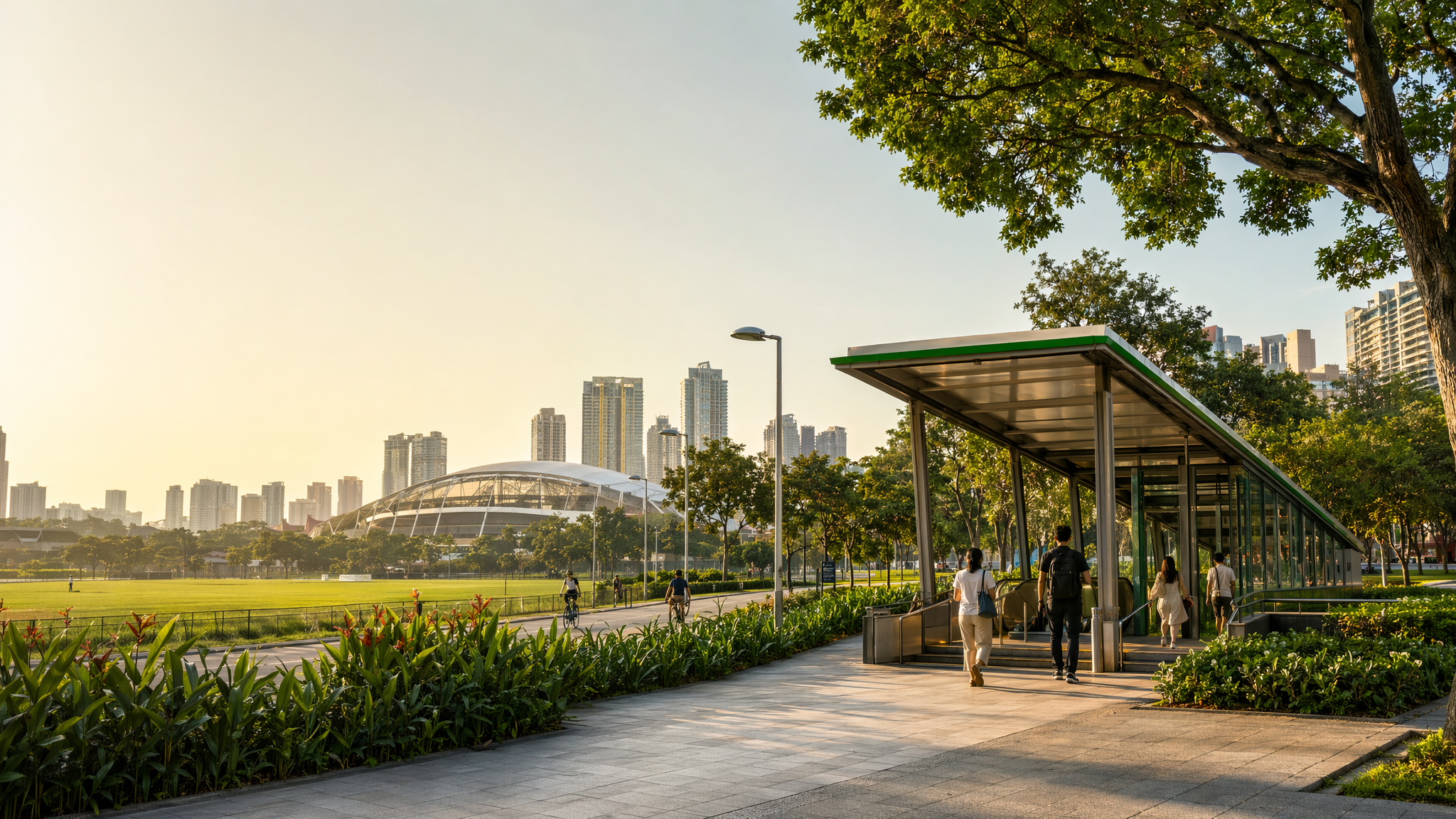
Kallang MRT neighbourhood hero image
MRT station guides

East West Line

Kallang MRT Station

Kallang MRT (EW10) is an East West Line station with no interchange role, serving the Kallang area on Singapore’s rail network. The station has published exit information, and nearby local amenities include sports, healthcare, education, and housing clusters around the Kallang–Whampoa and Jalan Tenteram area.

EW10 EWL

Reviewed station information

Station facts, commute context, amenities, sources, and freshness are checked before sitemap inclusion.

Transport context

Rail network access

Source-backed Kallang MRT Station identity for orientation and neighbourhood research. This block does not describe live service status, fares, train timings, or government endorsement.

Station identity, lines, codes, and interchange state come from the Homejourney shared MRT registry. The approximate map point is MRTStations-owned local presentation data; LTA/DataMall station-name and type fields are used only for reconciliation.

Lines
East West Line
Station codes
EW10
Interchange
No
Approximate map point
1.3114, 103.8715

Reference: LTA DataMall TrainStation_Mar2026.zip; checked 2026-07-12. Dataset page and Singapore Open Data Licence. Data attribution does not imply LTA or Singapore government endorsement of MRTStations.com.

Station facts

Kallang MRT is station EW10 on the East West Line, and it is not an interchange station. SMRT’s station information page provides dedicated exit details for Kallang, confirming it as a standard passenger station with official wayfinding information for entry and exit routing. The station serves the Kallang area in Singapore rather than any overseas location with a similar name.

Amenities and lifestyle

Kallang MRT sits close to a neighbourhood mix that includes daily retail, sports, healthcare, and education uses. HomeJourney’s Kallang/Whampoa area guide highlights nearby City Square Mall, Mustafa Centre, Whampoa Polyclinic, Tan Tock Seng Hospital, and schools such as Bendemeer Primary School and Geylang Methodist School in the wider local catchment. The area also benefits from access to the Kallang Sports Hub and local parks, making the station useful for both routine errands and recreation.

Commute and access

SMRT’s station page provides official exit information for Kallang, which is the most durable public-facing access detail available for the station. For broader travel planning, the Land Transport Authority’s station-and-network data sources support station location and network context, while the station’s East West Line placement makes it a straightforward rail stop for trips along that corridor. For road-based access, the Kallang area is also commonly associated with arterial connectivity toward central Singapore in local area guides.

Nearby context

The station is set within the broader Kallang–Whampoa and Bendemeer residential area, which combines public housing, neighborhood retail, and community services. Source-backed nearby references include Kallang Sports Hub, local parks such as McNair Park, and nearby healthcare and school facilities that shape the area’s lived character. This makes Kallang MRT useful for residents, students, and visitors heading to local sports or everyday amenities rather than a major interchange district.