Homejourney
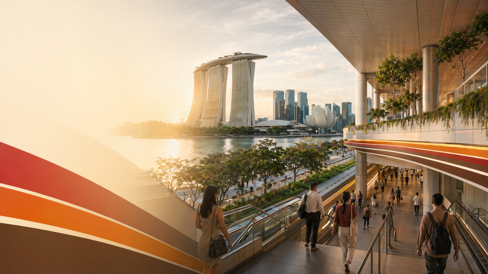
Marina Bay MRT neighbourhood hero image
MRT station guides

North South Line / Circle Line / Thomson-East Coast Line

Marina Bay MRT Station

Marina Bay MRT is an interchange station with codes NS27, CE2, and TE20, serving the North South Line, Circle Line, and Thomson-East Coast Line. It is a central access point for the Marina Bay area and connects to major nearby destinations on foot and by bus.

NS27 NSLCE2 CCLTE20 TEL

Reviewed station information

Station facts, commute context, amenities, sources, and freshness are checked before sitemap inclusion.

Transport context

Rail network access

Source-backed Marina Bay MRT Station identity for orientation and neighbourhood research. This block does not describe live service status, fares, train timings, or government endorsement.

Station identity, lines, codes, and interchange state come from the Homejourney shared MRT registry. The approximate map point is MRTStations-owned local presentation data; LTA/DataMall station-name and type fields are used only for reconciliation.

Lines
North South Line / Circle Line / Thomson-East Coast Line
Station codes
NS27 / CE2 / TE20
Interchange
Yes
Approximate map point
1.2764, 103.8546

Reference: LTA DataMall TrainStation_Mar2026.zip; checked 2026-07-12. Dataset page and Singapore Open Data Licence. Data attribution does not imply LTA or Singapore government endorsement of MRTStations.com.

Station facts

Marina Bay MRT is an interchange station with the codes NS27, CE2, and TE20, linking the North South Line, Circle Line, and Thomson-East Coast Line.

SMRT’s station information identifies the station’s exit layout and barrier-free features, including lifts and escalators, and notes bicycle parking at selected entrances.

Its interchange role makes it a practical transfer point for travel between the northern, central, and eastern parts of Singapore’s rail network.

Amenities and lifestyle

The station area is positioned for access to major visitor and lifestyle destinations, with nearby attractions including Marina Bay Sands and Merlion Park mentioned in station-area guides and access notes.

Homejourney’s station-area guides describe the Marina Bay environment as a mixed destination for dining, sightseeing, and waterfront leisure, with easy rail access supporting day visits as well as regular commuting.

SMRT’s station page also indicates practical commuter amenities such as barrier-free access and bicycle parking at some entrances, which supports both everyday use and short local trips.

Commute and access

Marina Bay MRT provides strong transfer value because it sits on three lines, allowing passengers to change between the North South Line, Circle Line, and Thomson-East Coast Line within the same station complex.

SMRT’s station exit information is the most durable source for on-the-ground access details, including the station’s exits and its barrier-free circulation features.

For surface connections, nearby transport references list bus stops and services around the Marina Bay station area, showing that the station works as a rail-and-bus access point for the waterfront precinct.

Nearby context

Station-area sources place Marina Bay MRT within reach of Marina Bay Sands, Merlion Park, and other waterfront destinations that define the immediate surroundings of the station.

The surrounding area is described in source material as part of Singapore’s central waterfront and business-oriented precinct, with a strong mix of tourism, dining, and commercial activity rather than a purely residential catchment.

Nearby transport context also includes other major stations in the wider Marina Bay area, which helps position Marina Bay MRT as one of several access nodes serving the waterfront district.