Homejourney
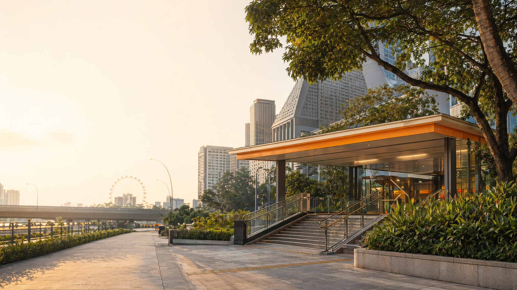
Nicoll Highway MRT neighbourhood hero image
MRT station guides

Circle Line

Nicoll Highway MRT Station

Nicoll Highway MRT (CC5) is a Circle Line station serving the Marina Centre edge of Singapore’s downtown area. It offers clear pedestrian access, including wheelchair-friendly routing, and sits near offices, visitor destinations, and event-linked precincts that make it useful for both daily commuting and short city trips.

CC5 CCL

Reviewed station information

Station facts, commute context, amenities, sources, and freshness are checked before sitemap inclusion.

Transport context

Rail network access

Source-backed Nicoll Highway MRT Station identity for orientation and neighbourhood research. This block does not describe live service status, fares, train timings, or government endorsement.

Station identity, lines, codes, and interchange state come from the Homejourney shared MRT registry. The approximate map point is MRTStations-owned local presentation data; LTA/DataMall station-name and type fields are used only for reconciliation.

Lines
Circle Line
Station codes
CC5
Interchange
No
Approximate map point
1.2997, 103.8636

Reference: LTA DataMall TrainStation_Mar2026.zip; checked 2026-07-12. Dataset page and Singapore Open Data Licence. Data attribution does not imply LTA or Singapore government endorsement of MRTStations.com.

Station facts

Nicoll Highway MRT (CC5) is an elevated Circle Line station with a direct role as a local access point rather than an interchange. Public transport guidance for major events identifies Nicoll Highway (CCL) as a station with designated exits, including Exit B for general access and Exit A for wheelchair users, showing that the station is planned for clear pedestrian routing and step-free use.

Amenities and lifestyle

The station sits in a transit-oriented area where rail access supports daily trips to nearby offices, hotels, and leisure destinations around the Marina Centre fringe. The station is also referenced in accessible travel guidance, reinforcing that it serves a broad mix of commuters, visitors, and mobility-impaired users with lift-based access and straightforward wayfinding.

Commute and access

Nicoll Highway MRT connects via the Circle Line and is useful for reaching the central business and waterfront side of Singapore without requiring an interchange. Official route guidance points to Exit B for standard pedestrian movement and Exit A for wheelchair users, indicating practical access for people heading to nearby destinations on foot or by short feeder connections.

Nearby context

The surrounding area is shaped by Marina Centre and the southern edge of the downtown core, with strong links to event venues, offices, and visitor-oriented places. Nearby routing references show Nicoll Highway used alongside Promenade and Esplanade stations for access to the same precinct, which highlights its role in a dense urban corridor with frequent pedestrian movement.