Homejourney
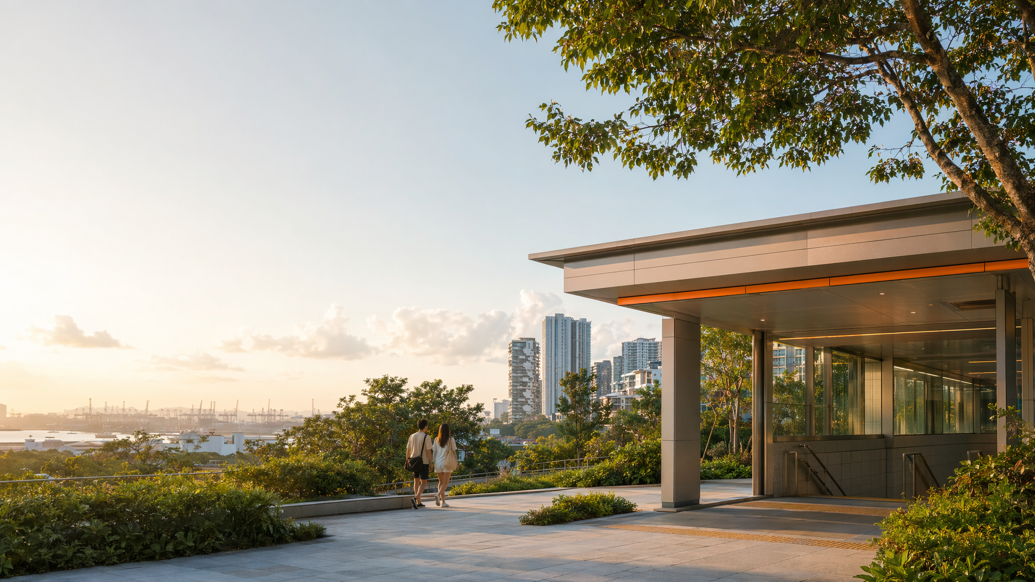
Pasir Panjang MRT neighbourhood hero image
MRT station guides

Circle Line

Pasir Panjang MRT Station

Pasir Panjang MRT (CC26) is a Circle Line station in a low-rise southern Singapore setting, without interchange status. It offers barrier-free rail access and serves a neighbourhood defined by park-side amenities, roadside conveniences, and easy reach to Pasir Panjang Park and nearby southern green corridors.

CC26 CCL

Reviewed station information

Station facts, commute context, amenities, sources, and freshness are checked before sitemap inclusion.

Transport context

Rail network access

Source-backed Pasir Panjang MRT Station identity for orientation and neighbourhood research. This block does not describe live service status, fares, train timings, or government endorsement.

Station identity, lines, codes, and interchange state come from the Homejourney shared MRT registry. The approximate map point is MRTStations-owned local presentation data; LTA/DataMall station-name and type fields are used only for reconciliation.

Lines
Circle Line
Station codes
CC26
Interchange
No
Approximate map point
1.2762, 103.7910

Reference: LTA DataMall TrainStation_Mar2026.zip; checked 2026-07-12. Dataset page and Singapore Open Data Licence. Data attribution does not imply LTA or Singapore government endorsement of MRTStations.com.

Station facts

Pasir Panjang MRT is CC26 on the Circle Line and serves the Pasir Panjang area on Singapore’s southern fringe. It is not an interchange station, so trips here typically involve a direct Circle Line ride or a transfer from another line. Station mapping sources place it along Pasir Panjang Road, near the residential and employment nodes in the area.

Amenities and lifestyle

The station area is practical for everyday errands rather than a major mall cluster. Nearby public-transport guidance and local mapping show access to Pasir Panjang Park and the surrounding neighbourhood streets, while LTA’s accessibility framework indicates barrier-free station design across the rail network. That makes the station suitable for commuters who value step-free access and a quieter, low-density urban setting.

Commute and access

Pasir Panjang MRT connects riders to the wider city through the Circle Line, with easy line-change access at other interchanges rather than within the station itself. The rail network map confirms station maps are available at stations, and OneMap places the station in a transport corridor that supports short walks to surrounding housing blocks, roadside businesses, and bus-served segments of Pasir Panjang Road.

Nearby context

The immediate context is shaped by the Pasir Panjang shoreline and the southern-western edge of the city. URA’s southern-corridor references connect the broader area to places such as Pasir Panjang Park and Labrador Nature Reserve, while an NParks heritage tree record places a notable Sea Almond near Pasir Panjang MRT station, reinforcing the station’s leafy, park-adjacent character.