Homejourney
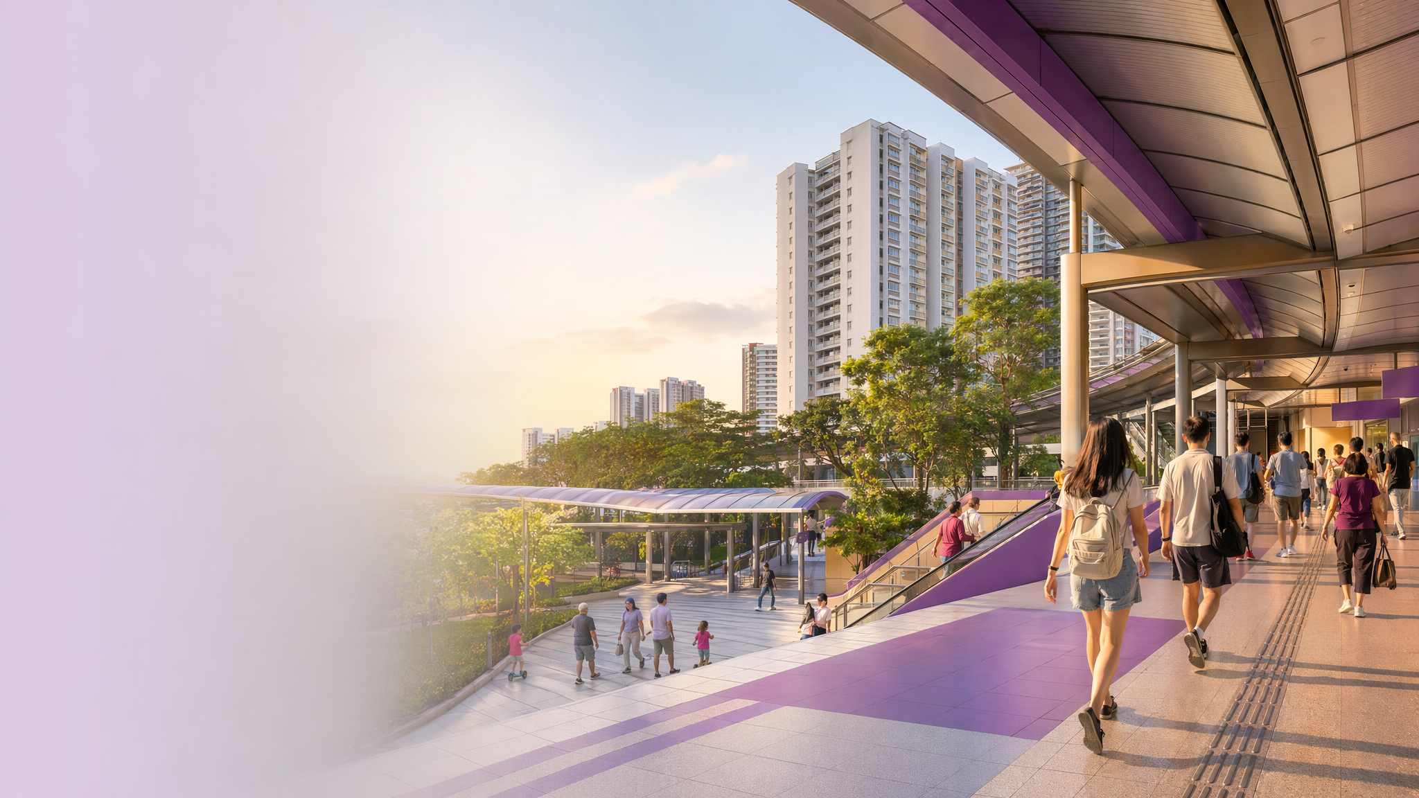
Punggol MRT neighbourhood hero image
MRT station guides

Northeast Line

Punggol MRT Station

Punggol MRT (NE17) is the North East Line station serving Punggol town centre and its main bus interchange connection. It is an interchange station in the broader Punggol transport hub context, with direct access toward Waterway Point, the town centre, and Punggol Waterway via sheltered links and nearby exits.

NE17 NEL

Reviewed station information

Station facts, commute context, amenities, sources, and freshness are checked before sitemap inclusion.

Transport context

Rail network access

Source-backed Punggol MRT Station identity for orientation and neighbourhood research. This block does not describe live service status, fares, train timings, or government endorsement.

Station identity, lines, codes, and interchange state come from the Homejourney shared MRT registry. The approximate map point is MRTStations-owned local presentation data; LTA/DataMall station-name and type fields are used only for reconciliation.

Lines
Northeast Line
Station codes
NE17
Interchange
Yes
Approximate map point
1.4053, 103.9024

Reference: LTA DataMall TrainStation_Mar2026.zip; checked 2026-07-12. Dataset page and Singapore Open Data Licence. Data attribution does not imply LTA or Singapore government endorsement of MRTStations.com.

Station facts

Punggol MRT is station NE17 on the North East Line and sits at the core of Punggol’s town centre transport node. It is described as a station with barrier-free access, and Exit A is noted for bicycle parking, while Exit B is used for the Punggol Waterway and town centre connection. The station is also linked to the town’s main transit and retail cluster around Waterway Point and the surrounding pedestrian network.

Amenities and lifestyle

The station places daily amenities within a short walk, especially Waterway Point, which is repeatedly described as the main mall hub for supermarkets, retail, and dining. Nearby leisure options include Punggol Waterway and Punggol Waterway Park, which are presented as key waterfront spaces for jogging, picnics, cycling, and family outings. This gives the station area a strong mix of shopping, recreation, and green-space living.

Commute and access

Homejourney describes Exit A as the link for Waterway Point and Punggol Waterway Park, while Exit B serves the town centre side and the waterway connection. The station also connects to the Punggol bus interchange, with one guide identifying Exit C as the most direct route to the interchange passage. This makes the station a practical transfer point for local bus and rail movement within Punggol.

Nearby context

Punggol MRT sits in a masterplanned new town shaped around waterfront living, with residential precincts, green corridors, and town-centre services close by. Sources identify nearby places such as Waterway Point, Punggol Waterway Park, SAFRA Punggol, and local schools including Edgefield Primary and Punggol Green Primary. The station area is therefore defined by family housing, town services, and park-linked lifestyle amenities rather than a single commercial strip.